Reconstructing cliffs in OpenDroneMap, or how to beat LiDAR at its own game (part 2)

(Reposted from smathermather.com)
In the beginning
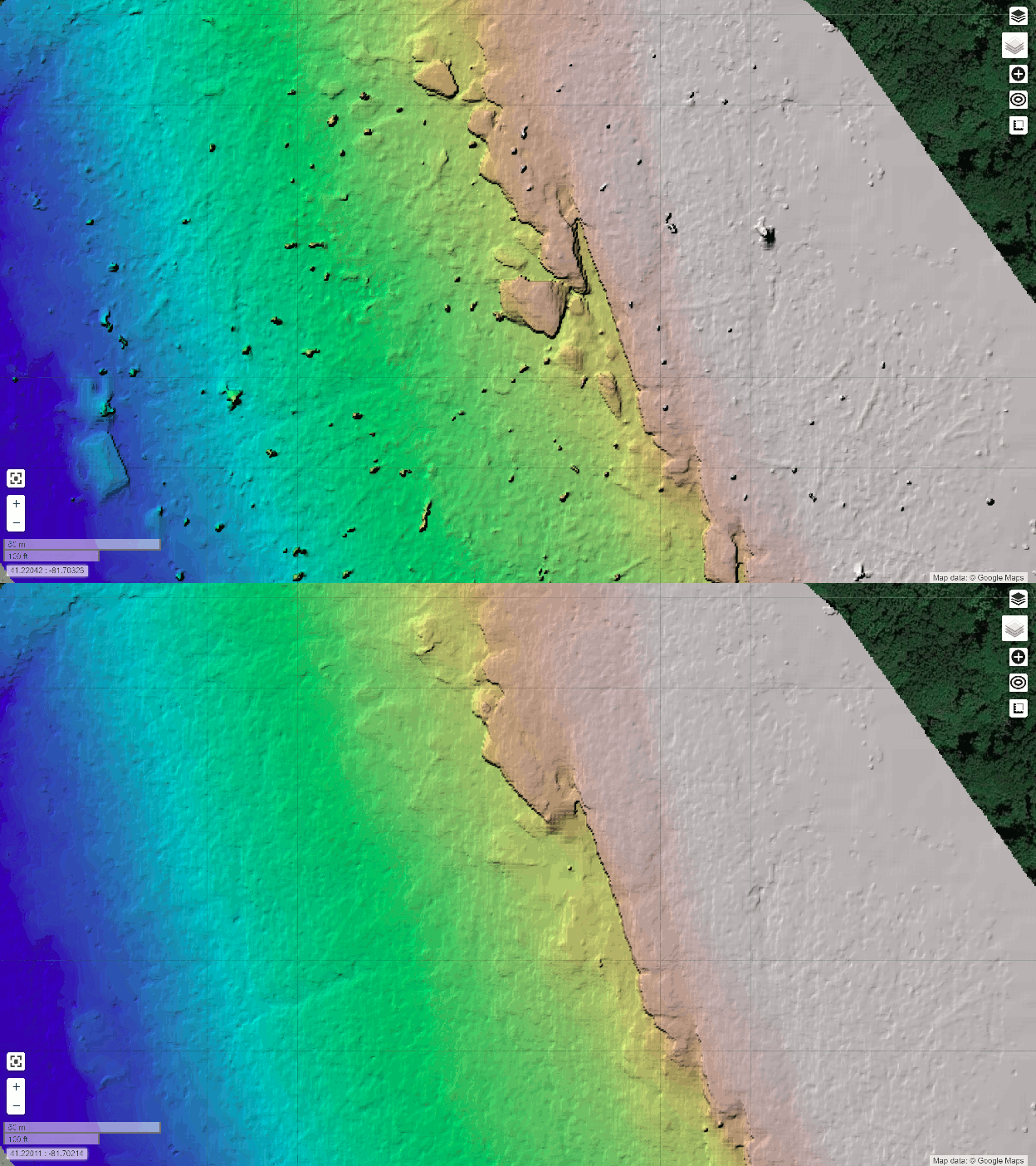
In a previous blog post, we explored how we can quite effectively derive terrain models using drones over deciduous, winter scenes. We ran into some limitations in the quality of the terrain model: the challenge was removing the unwanted features (things like tree trunks) while retaining wanted features (large rock features).

I concluded the post thusly:
For our use case, however, we can use the best parameters for this area, take a high touch approach, and create a really nice map of a special area in our parks for very low cost. High touch/low cost. I can’t think of a sweeter spot to reach.
Good parameters for better filtering
In the end, the trick was to extract as good of a depthmap as possible depthmap-resolution: 1280 in my case, set the point cloud filtering (Simple Morphological Filter or SMRF) smrf-window and smrf-threshold to 3 meters to only filter things like tree trunks, and set ignore-gsd: true to ensure we are keeping the highest quality data all the way through the toolchain.
Full list of processing settings:
smrf-window: 3, mesh-octree-depth: 11, orthophoto-resolution: 1.8, dtm: true, dem-resolution: 7, ignore-gsd: true, dsm: true, max-concurrency: 8, camera-lens: brown, depthmap-resolution: 1280, smrf-threshold: 3, rerun-from: dataset
Results
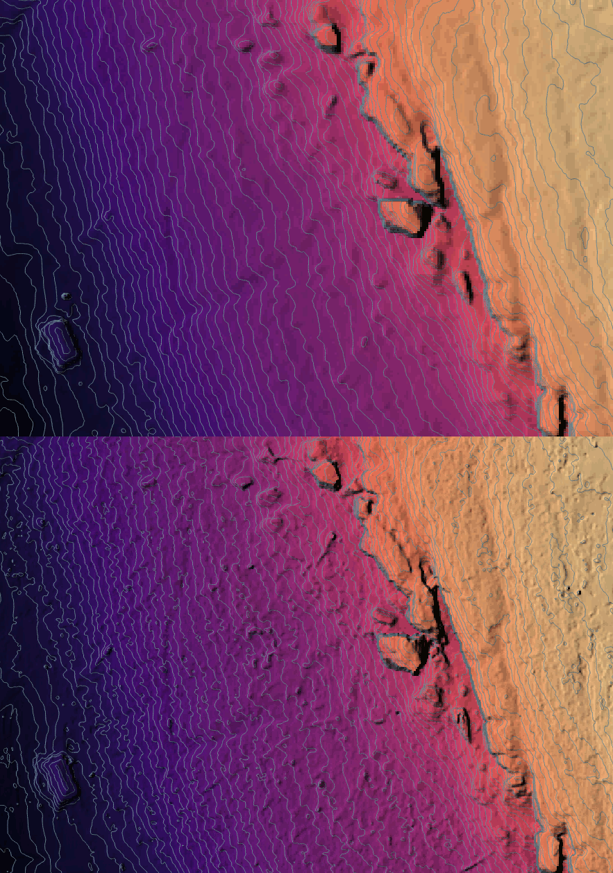
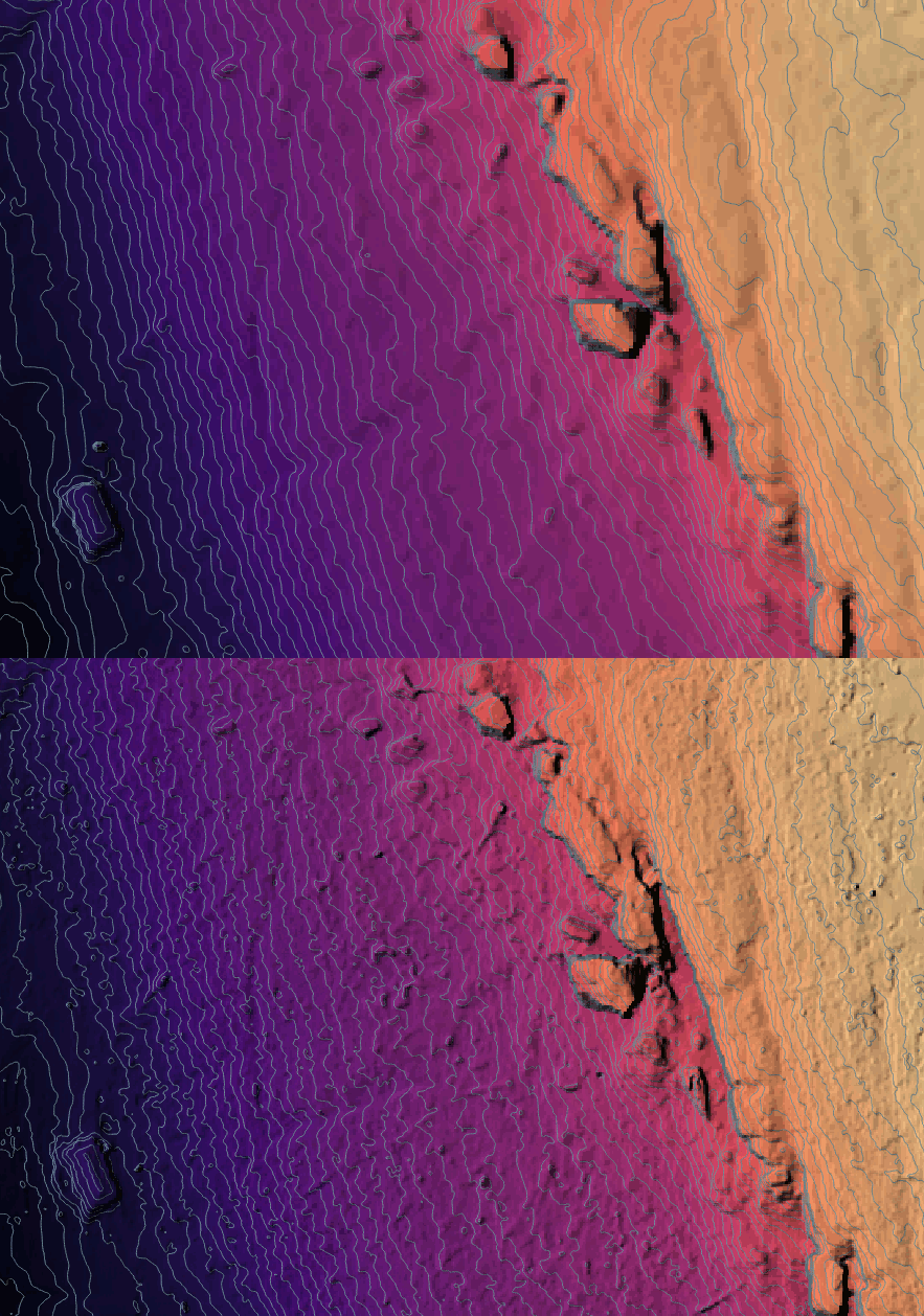
How well do the new settings work? Here’s the old vs. the new, including contours:

This is a much less noisy result. Unfortunately, I ran it at the wrong resolution, so I am rerunning at full resolution now and hope to see something similar.