OpenDroneMap Update: Cloud Optimized GeoTIFFs, Plant Health, Histograms and More!
WebODM 1.2.0 has been released today. This is a major release update that brings some shiny new features to the platform, most importantly a large effort to write a dynamic tiling system (powered in large part by rio-cogeo and rio-tiler, thank you Vincent Sarago for the great software!) They include:
Cloud Optimized GeoTIFF support
COGs are “regular GeoTIFF files, aimed at being hosted on a HTTP file server, with an internal organization that enables more efficient workflows on the cloud.”. Sounds like a perfect match for WebODM. This feature in fact has been on the TODO list since mid-2018.
But what are “efficient workflows”? In WebODM’s case, the primary goal of using COGs is dynamic tiling; once we store our maps and elevation models using COGs, we can display (and manipulate) them in real time before serving them to end users. Which means no more static tiles and a lot of cool new features, such as plant health algorithms, dynamic hillshading, histograms, levels and color maps!
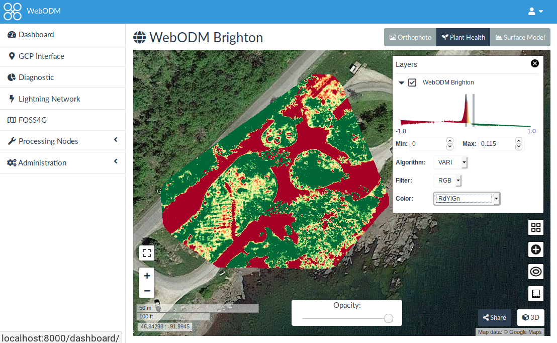
Plant Health
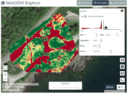
This feature has been asked over and over by our community members (we hear you!). We finally added support for Plant Health algorithms. The current list of algorithms is probably not comprehensive, but we made sure to set it up in a straightforward manner to allow for contributions even from non-developers. We look forward for feedback from the community for the addition of more algorithms.
People can apply the plant health algorithms to JPG images that were captured with a spectral filter. We are working to add full support for .TIFF inputs (both 8bit and 16bit) and for multi-camera captures, which will land in ODM within the next few months.
Histograms, Hillshading and Color Maps
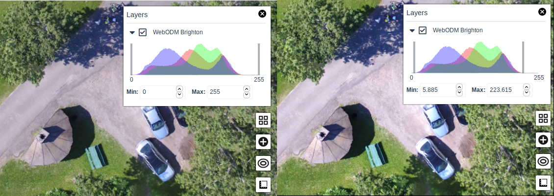
Thanks to dynamic tiling we can now visualize rasters statistics with histograms (showing the distribution of values). We can also change colors and enable hillshading on-demand.
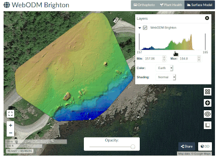
We can also stretch the color distribution to visualize better looking orthophotos (this feature is called levels in programs such as GIMP that do image editing).
We are just scratching the surface of what we can do with dynamic tiles. Another cool thing we can do is choose a discrete color map (Pastel) and apply it to an elevation model.
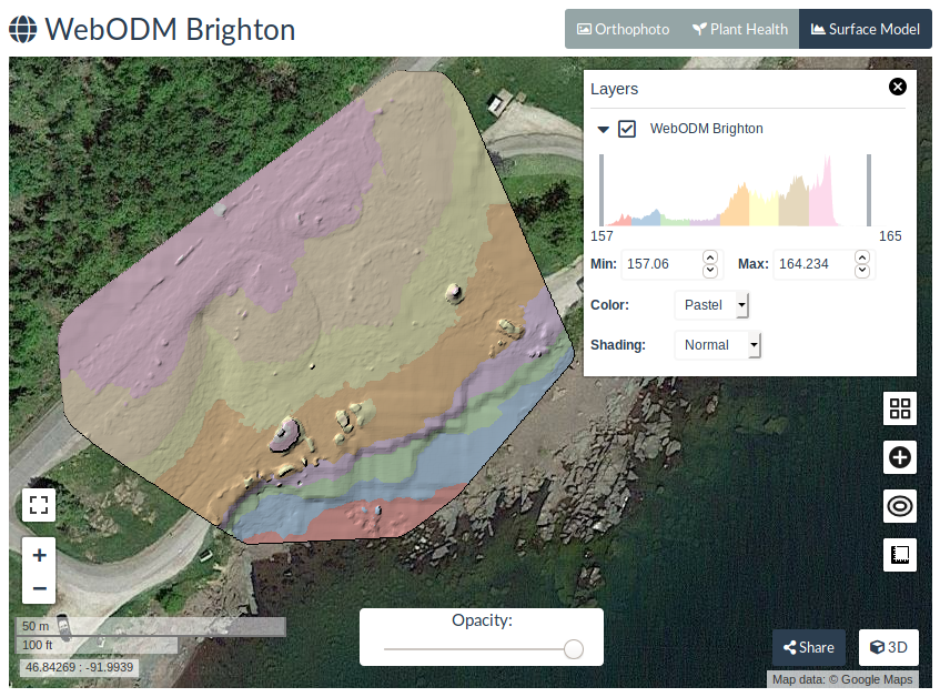
Which highlights areas of similar elevation.
New Icons
We’ve updated the look of WebODM to use the newer version of Font Awesome! If you find missing icons, please let us know, it was a tricky upgrade to perform and we might have missed a few.
Take a moment to share this post with your followers on social media and update your copy of WebODM. As usual report any issues on GitHub.
92