Digital Elevation Model Improvements, cont. with code!
Ok, so far what is available is broken code but that will be fixed. You can check it out in the meantime in this pull request. It calculates the full depthmaps, but does not yet write the PLY file needed for subsequent steps.
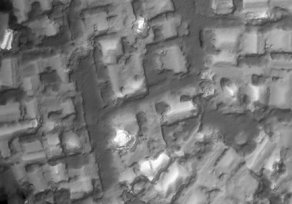
The trick to improve DEMs was already in our build process: for elevation models, MVE’s dmrecon utility is a slower but otherwise better option than smvs, the utility we are currently using. It provides more detail, is less “melty” as one person described smvs to me, and overall gives us much better results. A theoretical disadvantage is that svms can find results where there aren’t features, and thus does better gap filling. For drone mapping use cases, however, this remains predominantly a theoretical and not practical limitation.
11