From Images to Commons: Fast Sharing to OpenAerialMap
OpenDroneMap processes aerial imagery. OpenAerialMap (OAM) collects aerial imagery. It’s just natural that the two projects should have some form of integration.
Today, thanks to the efforts of participants from both projects, we are announcing a new feature in WebODM for quickly sharing processed orthophotos to OAM. We expect that this feature will increase user’s participation in the collective effort to build an open access repository of aerial imagery.

Why should we care about open aerial imagery? Aside from the many reasons that have been covered elsewhere and that are not within the scope of this post to discuss, freely accessible aerial imagery is going to be key to keep up with innovation trends. With the recent improvements in AI, availability of training data is going to be a requirement for developing solutions that are “smarter” and provide better analytics.
One of the interesting applications of AI for OpenDroneMap is automatic parameter tuning based on scene detection. Currently users can tweak dozens of different parameters before processing a dataset. It’s often a painful trial-and-error process. AI could enable workflows in which images are passed through a scene detector that can answer queries such as “is this a picture of farm land?” or “is this an urban area?”. Depending on the scene, certain parameters could be automatically tweaked to yield better results, without needing user interaction.
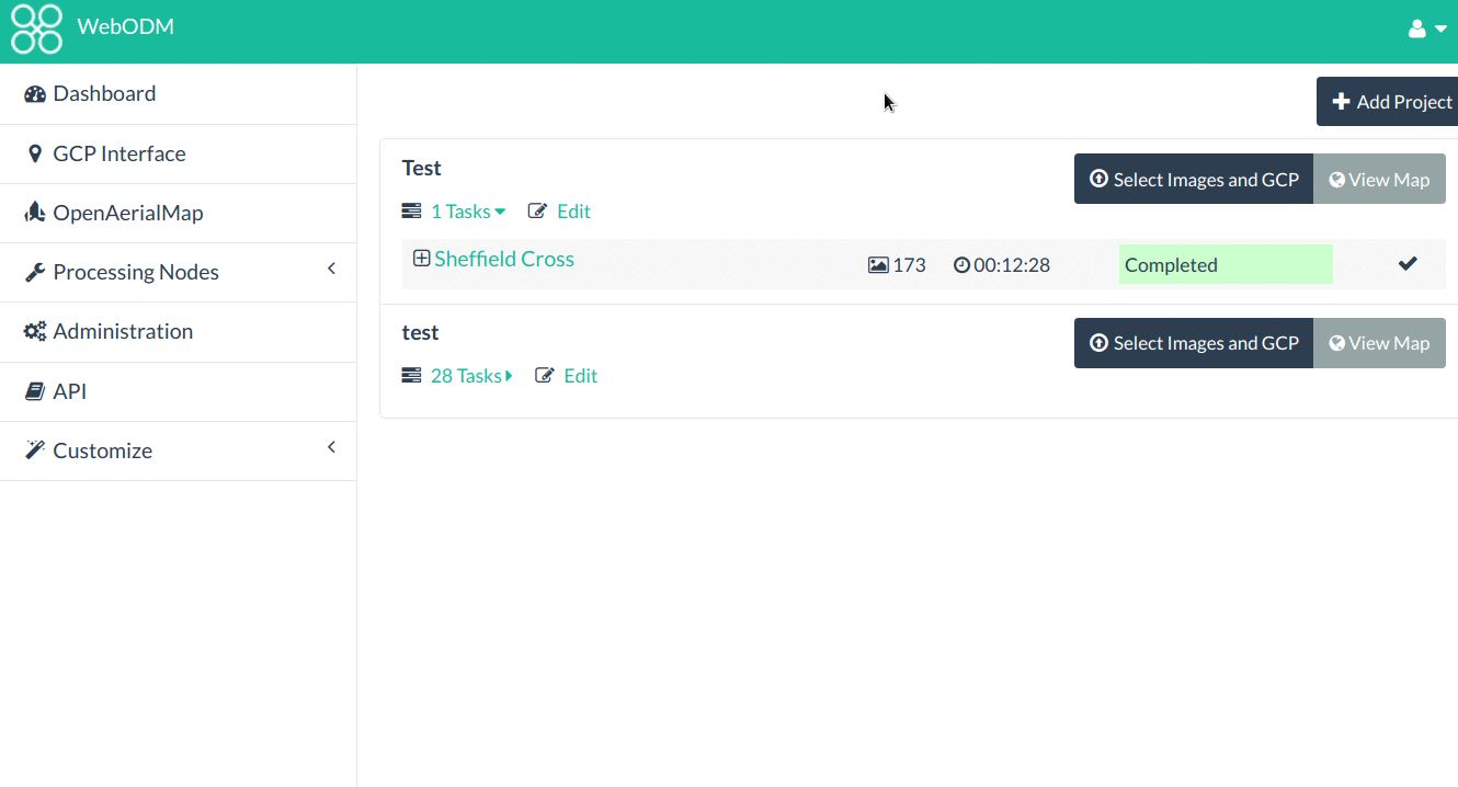
To start contributing open imagery via WebODM, simply update the program to the latest version and look for the “OpenAerialMap” menu.
We will be presenting more details, including a sneak peek of how to start creating your own WebODM plugins, at FOSS4G in Dar Es Salaam on August 29th @ 12:00 in the Bagamoyo room. Look for our talk From images to commons: fast sharing to OpenAerialMap using WebODM in the conference program.
Hope to see you in Dar. Karibu!
47